Kosya Kutauli Bhu-Naksha (village map) Joiner
Kosya Kutauli · Nainital · Uttarakhand · Bhulekh Uttarakhand
Kosya Kutauli is a tehsil of Nainital district in Uttarakhand. Download the Bhu-Naksha (village map) sheets for your Khasra numbers in Kosya Kutauli from Bhulekh Uttarakhand, then line them up along their shared boundaries into one continuous map with Village Map Joiner's in-browser editor.
Everything runs on your own device, the sheets never leave your phone or computer. Drag each sheet onto the canvas, nudge it until the boundary lines meet, and download the joined Bhu-Naksha (village map) for Kosya Kutauli at full resolution.
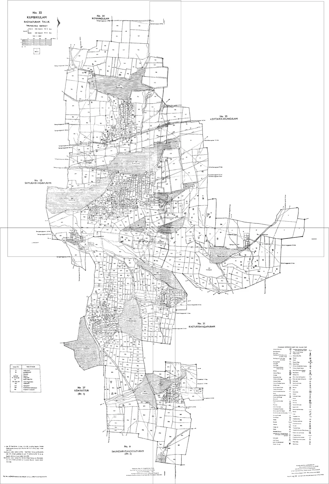
Land on the edge of Kosya Kutauli
A holding that crosses a tehsil or village boundary needs sheets from both sides. Both go on the same canvas, there is no limit on how many, and no extra charge for it. Kosya Kutauli adjoins other tehsils of Nainital:
Uttarakhand land documents
Bhu-Naksha (village map)
The cadastral map of a revenue village, showing each Khasra number with its boundaries. Hill villages are terraced into many small Khasra numbers down a slope, so a single holding routinely spans several sheets.
Through the map service for your district, tehsil and village, or from the tehsil where a sheet is not served online. Take the Khasra numbers off your Khatauni first.
Khatauni
The record of rights for a holding: the recorded holder, the Khasra numbers under it, the area of each and the class of land. This is the document a buyer, a bank or a court asks for first, and the area on it is written in the measure local to that half of the state.
Open Bhulekh Uttarakhand, choose district, tehsil and village, and search by Khasra number, Khata number or holder name. The copy shown online is for information; a certified copy comes from the tehsil.
Nali and Bigha
Two different systems for the same thing. The hill districts of Kumaon and Garhwal measure in Nali and Mutthi, with twenty Mutthi to a Nali. The Terai districts of Haridwar and Udham Singh Nagar measure in Bigha and Biswa, and the local value of a Bigha is not uniform across north India. An area quoted without its system is not a usable number.
Read the unit off the Khatauni itself rather than converting from memory, and confirm with the tehsil where a record is old enough that the unit is not stated plainly.
Dakhil Kharij (mutation)
The entry that records a transfer by sale, inheritance or partition against the holding. Until it is done the Khatauni still names the previous holder. In the hill districts this matters more than usual, because many parcels have passed through several undocumented family divisions since the last settlement.
Applied for at the tehsil, with status reflected in the record on Bhulekh Uttarakhand. Worth checking before relying on a downloaded Khatauni for a purchase.
Questions about Kosya Kutauli
- How do I join Bhu-Naksha (village map) sheets for Kosya Kutauli, Nainital?
- Download the Bhu-Naksha (village map) sheets for your Khasra numbers in Kosya Kutauli from Bhulekh Uttarakhand, open the Village Map Joiner editor, drag each sheet onto the canvas and line up the shared boundaries, then export one high-resolution PNG or print-ready PDF. Access is a flat one-time ₹199 covering 24 hours, any number of sheets and unlimited downloads, and every sheet stays in your browser.
- Does it work for land on the edge of Kosya Kutauli?
- Yes. Land that crosses a tehsil or village boundary needs sheets from both sides, and both go on the same canvas, Kosya Kutauli adjoins other tehsils of Nainital including Lalkuan, Nainital, Haldwani, Ramnagar, Kaladhungi, Dhari. Place them side by side and export the whole holding as one map.
- Is my Kosya Kutauli land data kept private?
- Yes. The editor processes your Bhu-Naksha (village map) sheets entirely in your browser. Nothing is uploaded to any server, so your Kosya Kutauli land records never leave your device.
Looking for another part of Uttarakhand? All tehsils of Nainital · The full Uttarakhand guide