
Unakoti Mouza map Joiner
Unakoti · Tripura · Jami Tripura
Unakoti is a district of Tripura whose sub-divisions include Kailashahar, Kumarghat and more. Download the Mouza map sheets for your Plot (Dag) numbers in Unakoti from Jami Tripura, then line them up along their shared boundaries into one continuous map with Village Map Joiner's in-browser editor.
Everything runs on your own device, the sheets never leave your phone or computer. Drag each sheet onto the canvas, nudge it until the boundary lines meet, and download the joined Mouza map for Unakoti at full resolution.
How to join your Mouza map sheets in Unakoti
- 1Download the Mouza map sheets for your Plot (Dag) numbers in Unakoti from Jami Tripura.
- 2Open the editor and drag each sheet onto the canvas.
- 3Nudge the sheets until the shared boundary lines meet.
- 4Export one continuous map as a high-resolution PNG or print-ready PDF.
Sub-divisions in Unakoti
The editor joins Mouza map sheets for every sub-division in Unakoti, including:
Tripura land-record terms
- Map
- Mouza map
- Parcel
- Plot (Dag) number
- Record of rights
- Khatian
- Revenue hierarchy
- District › Sub-division › Mouza
Tripura land records & documents
What each Tripura land document is, and how to get it from Jami Tripura before you join the sheets in the editor.
Mouza map
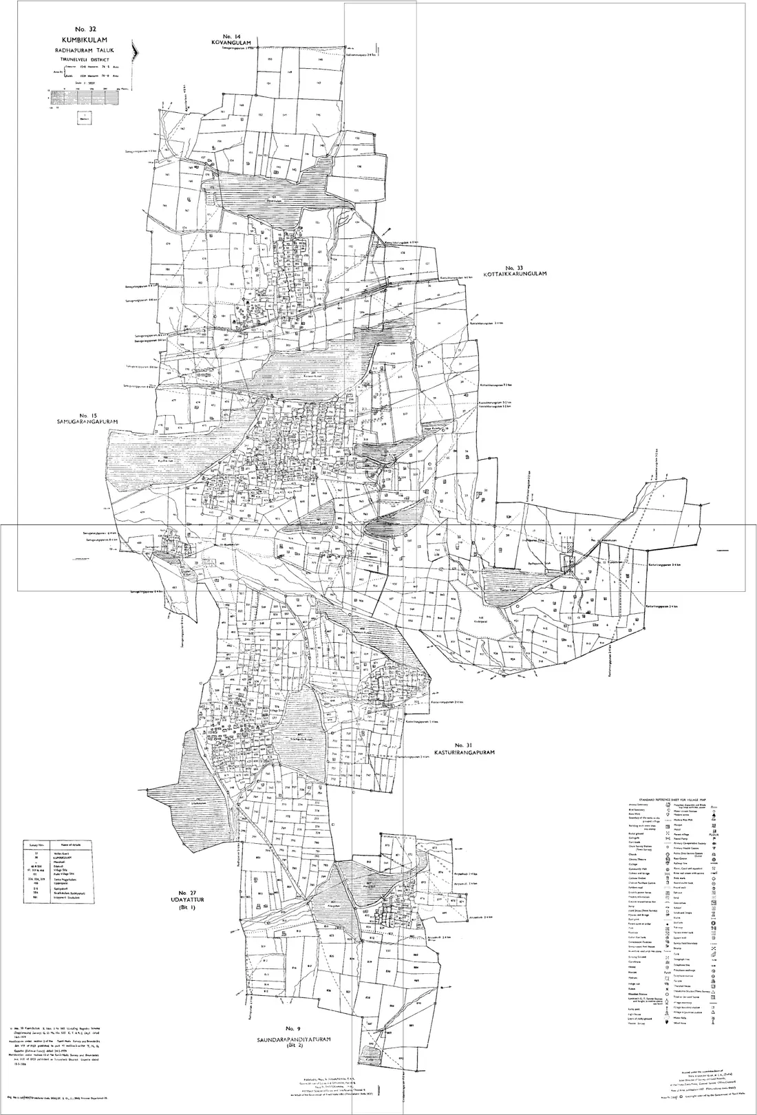
The cadastral map of one Mouza, showing every plot with its Dag number and boundaries. It is drawn across several sheets, so a holding near a sheet edge comes out cut, and land on a Mouza boundary needs the map of the next Mouza as well.
How to get it: Look for the Mouza on Jami Tripura, the state's land-records portal, or ask the revenue office for your sub-division. Quote the district, sub-division, Mouza and Dag numbers exactly as the Khatian gives them, and collect every sheet your plots fall on.
Khatian (record of rights)
The record of rights for a holding in a Mouza: the holder's name, the Khatian number, each Dag number in the holding and its area and classification. It says who holds the land in the revenue record; it does not draw it.
How to get it: Search Jami Tripura by district, sub-division and Mouza, using the Khatian or Dag number. A certified copy, which a bank, a registration or a court will ask for, comes from the revenue office.
Mutation
The change to the Khatian that records a transfer by sale, inheritance, gift or partition. Until it is made, the Khatian still names the previous holder whatever the registered deed says, so an out-of-date Khatian is the usual reason the record and the deed disagree.
How to get it: Applied for at the revenue office for the Mouza after registration or succession. Check the current Khatian on Jami Tripura, or with the office, before relying on it for a purchase.
Tribal land transfer restriction
The first thing to establish about a parcel in much of the state. The Tripura Land Revenue and Land Reforms Act restricts the transfer of land held by a member of a Scheduled Tribe to anyone who is not, and much of Tripura's area lies within the Sixth Schedule council, the TTAADC. A transaction that ignores the restriction is not merely irregular.
How to get it: Whether it applies to a specific plot, and what is permitted, is a question for the revenue office and an advocate. Establish it before commissioning a valuation or a survey, not after.
Useful resources
Frequently asked questions, Unakoti
- How do I join Mouza map sheets in Unakoti, Tripura?
- Download the Mouza map sheets for your Plot (Dag) numbers in Unakoti from Jami Tripura, open the Village Map Joiner editor, drag each sheet onto the canvas and align the shared boundary lines, then export a single high-resolution PNG or print-ready PDF. Editor access is a flat one-time ₹199 covering 24 hours, any number of sheets and unlimited downloads, and everything stays in your browser.
- Which sub-divisions in Unakoti does it cover?
- The editor works for every sub-division in Unakoti, including Kailashahar, Kumarghat and more. Join the Mouza map sheets for any of them into one continuous map.
- Is my Unakoti land data kept private?
- Yes. The editor processes your Mouza map sheets entirely in your browser. Nothing is uploaded to any server, so your Unakoti land records stay on your device.