Kot Ise Khan Shajra / Musavi (village map) Joiner
Kot Ise Khan · Moga · Punjab · Punjab Land Records (PLRS)
Kot Ise Khan is a tehsil of Moga district in Punjab. Download the Shajra / Musavi (village map) sheets for your Khasra / Khewat numbers in Kot Ise Khan from Punjab Land Records (PLRS), then line them up along their shared boundaries into one continuous map with Village Map Joiner's in-browser editor.
Everything runs on your own device, the sheets never leave your phone or computer. Drag each sheet onto the canvas, nudge it until the boundary lines meet, and download the joined Shajra / Musavi (village map) for Kot Ise Khan at full resolution.
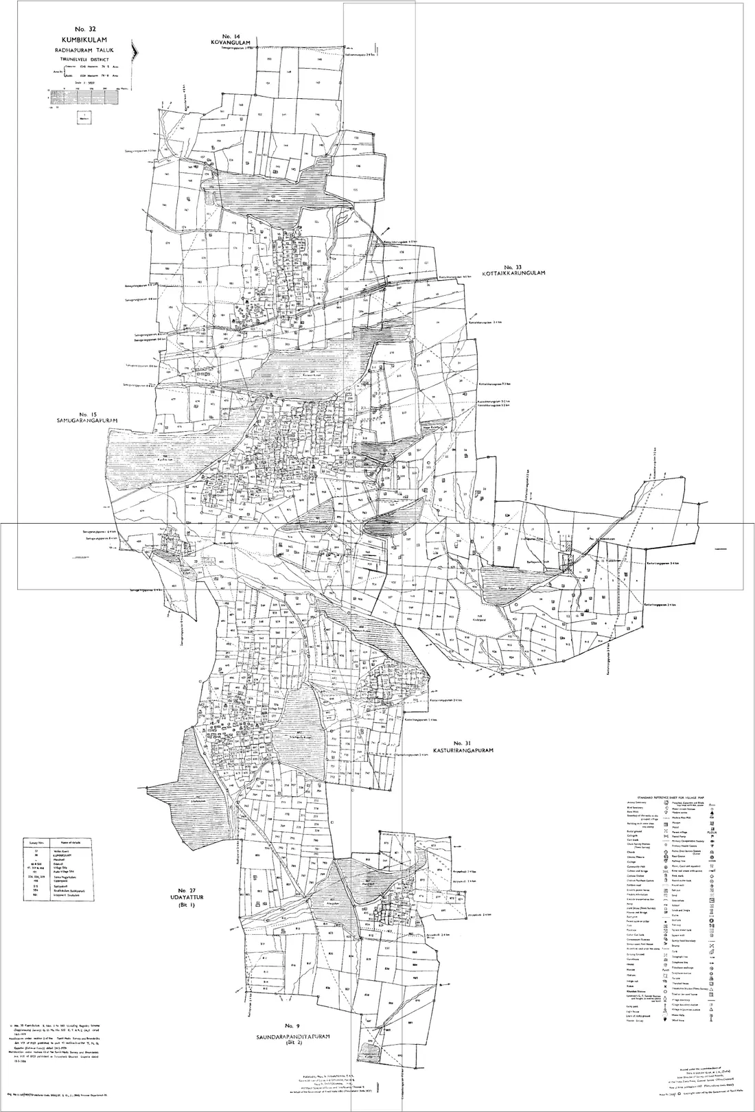
Land on the edge of Kot Ise Khan
A holding that crosses a tehsil or village boundary needs sheets from both sides. Both go on the same canvas, there is no limit on how many, and no extra charge for it. Kot Ise Khan adjoins other tehsils of Moga:
Punjab land documents
Shajra Kishtwar (village map)
The field map of a revenue village, drawn across several sheets, showing each Khasra number with its boundaries. It is the drawing a boundary question is answered from, and the one a holding scattered by generations of partition needs several of.
Through the PLRS portal for your district, tehsil and village, or from the Patwari for the circle. Take the Khasra numbers off your Fard first, because the sheets are issued against them rather than against the Khewat.
Fard Jamabandi
The record of rights for a village, revised periodically. One Fard carries three different numbers for the same land: the Khewat for the owner's holding, the Khatauni for the cultivator's, and the Khasra for the individual field. Quoting the wrong one is the commonest reason a request comes back with the wrong document.
Open the PLRS portal, select district, tehsil and village, and search by owner name, Khewat or Khasra number. The online copy is for information; a certified Fard comes from the tehsil.
Shajra Nasab
The pedigree table for a holding, showing how it descended through a family. Despite the shared word it is not a map, and a great deal of confusion at the counter comes from asking for a Shajra and being handed one of the two.
Held with the village record at the tehsil and served alongside the Jamabandi on PLRS. A succession question needs this; a boundary question needs the Shajra Kishtwar.
Roznamcha and Intkal
The Roznamcha is the Patwari's daily register, where a reported transaction is first entered as a Rapat. The Intkal is the mutation that follows, entering the transfer against the holding in the Jamabandi. A sale that has been reported but not mutated exists in the first and not yet in the second.
Both sit with the Patwari for the circle, with mutation sanctioned by the Revenue Officer at the tehsil. Check mutation status before relying on a Fard for a purchase.
Questions about Kot Ise Khan
- How do I join Shajra / Musavi (village map) sheets for Kot Ise Khan, Moga?
- Download the Shajra / Musavi (village map) sheets for your Khasra / Khewat numbers in Kot Ise Khan from Punjab Land Records (PLRS), open the Village Map Joiner editor, drag each sheet onto the canvas and line up the shared boundaries, then export one high-resolution PNG or print-ready PDF. Access is a flat one-time ₹199 covering 24 hours, any number of sheets and unlimited downloads, and every sheet stays in your browser.
- Does it work for land on the edge of Kot Ise Khan?
- Yes. Land that crosses a tehsil or village boundary needs sheets from both sides, and both go on the same canvas, Kot Ise Khan adjoins other tehsils of Moga including Moga, Nihal Singh Wala, Baghapurana, Dharamkot. Place them side by side and export the whole holding as one map.
- Is my Kot Ise Khan land data kept private?
- Yes. The editor processes your Shajra / Musavi (village map) sheets entirely in your browser. Nothing is uploaded to any server, so your Kot Ise Khan land records never leave your device.
Looking for another part of Punjab? All tehsils of Moga · The full Punjab guide