
Karaikal FMB sketch / village map Joiner
Karaikal · Puducherry · Puducherry land-records office
Karaikal is a district of Puducherry whose taluks include Karaikal, Thirunallar and more. Download the FMB sketch / village map sheets for your Survey numbers in Karaikal from Puducherry land-records office, then line them up along their shared boundaries into one continuous map with Village Map Joiner's in-browser editor.
Everything runs on your own device, the sheets never leave your phone or computer. Drag each sheet onto the canvas, nudge it until the boundary lines meet, and download the joined FMB sketch / village map for Karaikal at full resolution.
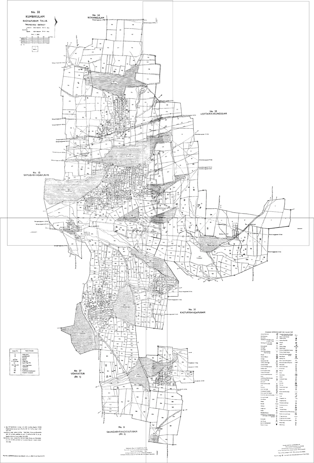
How to join your FMB sketch / village map sheets in Karaikal
- 1Download the FMB sketch / village map sheets for your Survey numbers in Karaikal from Puducherry land-records office.
- 2Open the editor and drag each sheet onto the canvas.
- 3Nudge the sheets until the shared boundary lines meet.
- 4Export one continuous map as a high-resolution PNG or print-ready PDF.
Taluks in Karaikal
The editor joins FMB sketch / village map sheets for every taluk in Karaikal, including:
Puducherry land-record terms
- Map
- FMB sketch / village map
- Parcel
- Survey number
- Record of rights
- Patta / Chitta
- Revenue hierarchy
- District › Taluk › Revenue village
Puducherry land records & documents
What each Puducherry land document is, and how to get it from Puducherry land-records office before you join the sheets in the editor.
FMB sketch
The Field Measurement Book sketch for one survey number: its surveyed shape with the length of each boundary line and the subdivisions inside it. One sketch covers one number, so a plot made of several survey numbers or subdivisions needs several sketches joined to be seen whole.
How to get it: Ask the taluk office for your region, or the Survey and Land Records department, quoting taluk, revenue village and the current survey number. Check the government's current online services first, since what is published online changes.
Village map
The map of a whole revenue village, showing every survey number in relation to its neighbours, roads and water bodies. It is drawn across several sheets, and it is what you need when the question is where a plot sits rather than how big it is.
How to get it: From the Survey and Land Records department or the taluk office. Ask for every sheet your survey numbers fall on, not just the first, because the boundary you care about is often on the next one.
Patta and Chitta
The revenue record of who holds a survey number and how it is classified. It names the holder and gives the extent; it does not draw the land. Pair it with the FMB sketch to see the parcel the record describes.
How to get it: Issued by the revenue department through the taluk office for your region. Use the survey and subdivision numbers written here for every map request, so the sheets you get match the record.
Old and new survey number correlation
The table that maps each survey number in the old record to the number, or numbers, it became after the re-survey. Older deeds in Puducherry and Karaikal can cite numbers from before the re-survey, including French-period numbers, and this is what reconciles them with the current FMB.
How to get it: Ask the taluk office for the correlation for your revenue village, quoting the old number from the deed. Then request the FMB sketches for the new numbers it gives you.
Useful resources
- Puducherry land-records office, official Puducherry land records
- Stitch your own sheets in the editor →
- All of Puducherry, FMB sketch / village map joiner →
Frequently asked questions, Karaikal
- How do I join FMB sketch / village map sheets in Karaikal, Puducherry?
- Download the FMB sketch / village map sheets for your Survey numbers in Karaikal from Puducherry land-records office, open the Village Map Joiner editor, drag each sheet onto the canvas and align the shared boundary lines, then export a single high-resolution PNG or print-ready PDF. Editor access is a flat one-time ₹199 covering 24 hours, any number of sheets and unlimited downloads, and everything stays in your browser.
- Which taluks in Karaikal does it cover?
- The editor works for every taluk in Karaikal, including Karaikal, Thirunallar and more. Join the FMB sketch / village map sheets for any of them into one continuous map.
- Is my Karaikal land data kept private?
- Yes. The editor processes your FMB sketch / village map sheets entirely in your browser. Nothing is uploaded to any server, so your Karaikal land records stay on your device.