
Dandeli village map / Tippan Joiner
Dandeli · Uttara Kannada · Karnataka · Bhoomi
Dandeli is a taluk of Uttara Kannada district in Karnataka. Download the village map / Tippan sheets for your Survey numbers in Dandeli from Bhoomi, then line them up along their shared boundaries into one continuous map with Village Map Joiner's in-browser editor.
Everything runs on your own device, the sheets never leave your phone or computer. Drag each sheet onto the canvas, nudge it until the boundary lines meet, and download the joined village map / Tippan for Dandeli at full resolution.
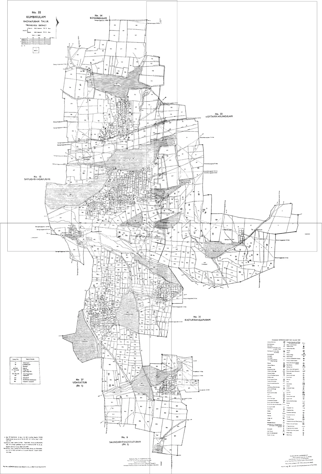
Land on the edge of Dandeli
A holding that crosses a taluk or village boundary needs sheets from both sides. Both go on the same canvas, there is no limit on how many, and no extra charge for it. Dandeli adjoins other taluks of Uttara Kannada:
Karnataka land documents
Village Map / Tippan
The Tippan is the survey sketch of a survey number, and the village map (Bhu-Naksha) shows how all survey numbers fit together. Join the sheets to rebuild the whole village on one canvas.
Apply for a Tippan/Akarband through the Bhoomi/Mojini survey documents service, or view the cadastral map on Bhu-Naksha / Dishaank.
RTC (Pahani)
The Record of Rights, Tenancy and Crops: ownership, extent, soil type and crop details for a survey number. It is the most-used Karnataka land record.
On landrecords.karnataka.gov.in select district, taluk, hobli, village and survey number, then 'Fetch details'.
Mutation Register (MR) extract
The record of ownership changes (sale, inheritance, partition) for a survey number, showing how the RTC came to its current state.
View 'Mutation Status' on the Bhoomi portal by survey number.
Akarband
A statement of the survey numbers in a village with their extent and land assessment, useful for cross-checking a map against recorded areas.
Apply online through the Bhoomi / Mojini survey-documents service.
Questions about Dandeli
- How do I join village map / Tippan sheets for Dandeli, Uttara Kannada?
- Download the village map / Tippan sheets for your Survey numbers in Dandeli from Bhoomi, open the Village Map Joiner editor, drag each sheet onto the canvas and line up the shared boundaries, then export one high-resolution PNG or print-ready PDF. Access is a flat one-time ₹199 covering 24 hours, any number of sheets and unlimited downloads, and every sheet stays in your browser.
- Does it work for land on the edge of Dandeli?
- Yes. Land that crosses a taluk or village boundary needs sheets from both sides, and both go on the same canvas, Dandeli adjoins other taluks of Uttara Kannada including Joida, Karwar, Sirsi, Kumta, Bhatkal, Honnavar. Place them side by side and export the whole holding as one map.
- Is my Dandeli land data kept private?
- Yes. The editor processes your village map / Tippan sheets entirely in your browser. Nothing is uploaded to any server, so your Dandeli land records never leave your device.
Looking for another part of Karnataka? All taluks of Uttara Kannada · The full Karnataka guide