
Una Tatima / Shajra (village map) Joiner
Una · Himachal Pradesh · HimBhoomi
Una is a district of Himachal Pradesh whose tehsils include Una, Amb, Bangana, Haroli and more. Download the Tatima / Shajra (village map) sheets for your Khasra numbers in Una from HimBhoomi, then line them up along their shared boundaries into one continuous map with Village Map Joiner's in-browser editor.
Everything runs on your own device, the sheets never leave your phone or computer. Drag each sheet onto the canvas, nudge it until the boundary lines meet, and download the joined Tatima / Shajra (village map) for Una at full resolution.
How to join your Tatima / Shajra (village map) sheets in Una
- 1Download the Tatima / Shajra (village map) sheets for your Khasra numbers in Una from HimBhoomi.
- 2Open the editor and drag each sheet onto the canvas.
- 3Nudge the sheets until the shared boundary lines meet.
- 4Export one continuous map as a high-resolution PNG or print-ready PDF.
Tehsils in Una
The editor joins Tatima / Shajra (village map) sheets for every tehsil in Una, including:
Himachal Pradesh land-record terms
- Map
- Tatima / Shajra (village map)
- Parcel
- Khasra number
- Record of rights
- Jamabandi
- Revenue hierarchy
- District › Tehsil › Village
Himachal Pradesh land records & documents
What each Himachal Pradesh land document is, and how to get it from HimBhoomi before you join the sheets in the editor.
Tatima and Shajra (village map)
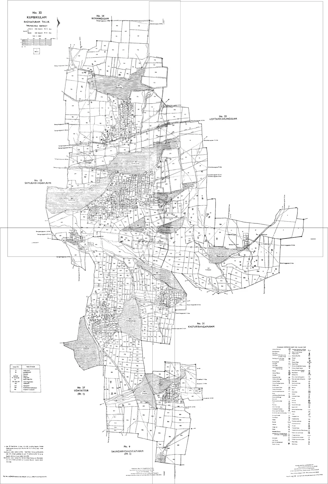
The Shajra is the field map of a revenue village, showing each Khasra number with its boundaries across several sheets; it derives from the Musavi, the settlement map. A Tatima is the sketch drawn when a Khasra is split, showing its new parts. A holding usually needs a Shajra sheet or two plus the Tatimas for its split Khasras, which is why these are the sheets people join.
How to get it: Look up the village on HimBhoomi, where the state's land records are being digitised, or ask the Patwari of your Patwar circle. Collect every sheet your Khasra numbers fall on, and the Tatima for any Khasra that has been divided.
Jamabandi (record of rights)
The periodic record of rights for a village: the Khewat (ownership account), the Khatauni (cultivation account), owners and cultivators, each Khasra number with its area, and the revenue payable. It says who holds the land. A copy of an entry is often called a Nakal.
How to get it: View it on HimBhoomi by district, tehsil and village. A certified copy comes from the Patwari or the tehsil, which is the copy a bank, a court or a registration will ask for.
Khasra Girdawari
The crop inspection recorded against each Khasra number at every harvest: what was sown and who was in possession. It keeps the Jamabandi's description of the land current, and it is often relied on to show possession at a particular time.
How to get it: Maintained by the Patwari and checked by the Kanungo. Recent entries can be looked up on the land-records portal; older ones come from the tehsil.
Intkal (mutation)
The entry that records a transfer, by sale, inheritance, gift or partition, against the holding in the revenue record. Until it is attested, the Jamabandi still names the previous owner whatever the sale deed says.
How to get it: Entered by the Patwari and attested by the revenue officer for the tehsil. Check its status on the portal or at the tehsil before relying on a downloaded Jamabandi for a purchase.
Useful resources
Frequently asked questions, Una
- How do I join Tatima / Shajra (village map) sheets in Una, Himachal Pradesh?
- Download the Tatima / Shajra (village map) sheets for your Khasra numbers in Una from HimBhoomi, open the Village Map Joiner editor, drag each sheet onto the canvas and align the shared boundary lines, then export a single high-resolution PNG or print-ready PDF. Editor access is a flat one-time ₹199 covering 24 hours, any number of sheets and unlimited downloads, and everything stays in your browser.
- Which tehsils in Una does it cover?
- The editor works for every tehsil in Una, including Una, Amb, Bangana, Haroli and more. Join the Tatima / Shajra (village map) sheets for any of them into one continuous map.
- Is my Una land data kept private?
- Yes. The editor processes your Tatima / Shajra (village map) sheets entirely in your browser. Nothing is uploaded to any server, so your Una land records stay on your device.