
Nalgonda village / cadastral map Joiner
Nalgonda · Telangana · Dharani / Bhu Bharathi
Nalgonda is a district of Telangana whose mandals include Nalgonda, Miryalaguda, Devarakonda, Nakrekal and more. Download the village / cadastral map sheets for your Survey numbers in Nalgonda from Dharani / Bhu Bharathi, then line them up along their shared boundaries into one continuous map with Village Map Joiner's in-browser editor.
Everything runs on your own device, the sheets never leave your phone or computer. Drag each sheet onto the canvas, nudge it until the boundary lines meet, and download the joined village / cadastral map for Nalgonda at full resolution.
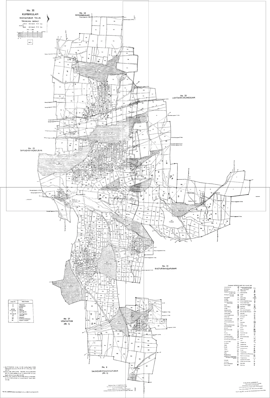
How to join your village / cadastral map sheets in Nalgonda
- 1Download the village / cadastral map sheets for your Survey numbers in Nalgonda from Dharani / Bhu Bharathi.
- 2Open the editor and drag each sheet onto the canvas.
- 3Nudge the sheets until the shared boundary lines meet.
- 4Export one continuous map as a high-resolution PNG or print-ready PDF.
Mandals in Nalgonda
The editor joins village / cadastral map sheets for every mandal in Nalgonda, including:
Telangana land-record terms
- Map
- village / cadastral map
- Parcel
- Survey number
- Record of rights
- Sethwar / Pahani-Adangal
- Revenue hierarchy
- District › Mandal › Village
Telangana land records & documents
What each Telangana land document is, and how to get it from Dharani / Bhu Bharathi before you join the sheets in the editor.
Village / Cadastral Map
Shows the boundaries of every survey number in a revenue village. Published across multiple sheets: join them to see the full village and how survey numbers adjoin.
How to get it: View village cadastral maps on the Dharani portal (now moving to Bhu Bharathi) by survey number.
Pahani / Adangal (ROR)
The Record of Rights (owner, extent, land nature and crop for a survey number), the everyday Telangana land record.
How to get it: On Dharani use 'Know your land status' / land-details search by survey number.
Sethwar (RSR)
The permanent survey-settlement record maintained for every revenue village since the original settlement, used to resolve survey disputes and confirm original extents.
How to get it: Obtained from the Mandal / District survey office; read alongside the cadastral map.
ROR-1B
The Record of Rights extract listing the pattadar and extent for a survey number, the ownership document that pairs with the map.
How to get it: Search on the Dharani / integrated land-records portal by survey number.
Useful resources
Frequently asked questions, Nalgonda
- How do I join village / cadastral map sheets in Nalgonda, Telangana?
- Download the village / cadastral map sheets for your Survey numbers in Nalgonda from Dharani / Bhu Bharathi, open the Village Map Joiner editor, drag each sheet onto the canvas and align the shared boundary lines, then export a single high-resolution PNG or print-ready PDF. Editor access is a flat one-time ₹199 covering 24 hours, any number of sheets and unlimited downloads, and everything stays in your browser.
- Which mandals in Nalgonda does it cover?
- The editor works for every mandal in Nalgonda, including Nalgonda, Miryalaguda, Devarakonda, Nakrekal and more. Join the village / cadastral map sheets for any of them into one continuous map.
- Is my Nalgonda land data kept private?
- Yes. The editor processes your village / cadastral map sheets entirely in your browser. Nothing is uploaded to any server, so your Nalgonda land records stay on your device.