
South West Garo Hills village / locality sketch Joiner
South West Garo Hills · Meghalaya · Meghalaya land-records office
South West Garo Hills is a district of Meghalaya whose c&rd blocks include Betasing, Zikzak and more. Download the village / locality sketch sheets for your Plot numbers in South West Garo Hills from Meghalaya land-records office, then line them up along their shared boundaries into one continuous map with Village Map Joiner's in-browser editor.
Everything runs on your own device, the sheets never leave your phone or computer. Drag each sheet onto the canvas, nudge it until the boundary lines meet, and download the joined village / locality sketch for South West Garo Hills at full resolution.
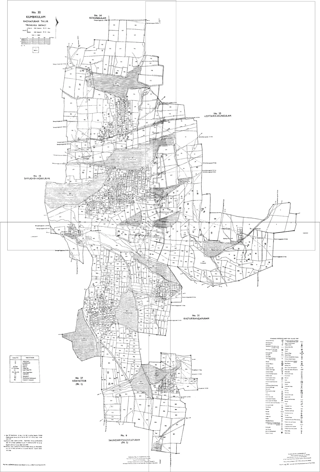
How to join your village / locality sketch sheets in South West Garo Hills
- 1Download the village / locality sketch sheets for your Plot numbers in South West Garo Hills from Meghalaya land-records office.
- 2Open the editor and drag each sheet onto the canvas.
- 3Nudge the sheets until the shared boundary lines meet.
- 4Export one continuous map as a high-resolution PNG or print-ready PDF.
C&RD Blocks in South West Garo Hills
The editor joins village / locality sketch sheets for every c&rd block in South West Garo Hills, including:
Meghalaya land-record terms
- Map
- village / locality sketch
- Parcel
- Plot number
- Record of rights
- Land holding certificate / clan record
- Revenue hierarchy
- District › C&RD Block › Village
Meghalaya land records & documents
What each Meghalaya land document is, and how to get it from Meghalaya land-records office before you join the sheets in the editor.
Plot or locality sketch
The drawing your land actually comes with. Meghalaya has no state-wide cadastral map series, so the map of a plot is usually a surveyor's sketch attached to a deed, a sketch prepared with a land holding certificate, or a locality plan drawn for a village or a Dorbar Shnong. Neighbouring plots are often on separate sheets drawn at different times, which is why they need joining to be seen together.
How to get it: Ask whoever drew or holds it: the seller, the licensed surveyor who measured the plot, the Dorbar Shnong for a locality plan, or the Deputy Commissioner's office where the land was surveyed for a government purpose. Collect every sheet that touches your boundary, not only your own plot.
Land holding certificate
A certificate from the traditional authority of the area confirming who holds a plot under customary law, often with its boundaries and a sketch. It stands in for the record of rights that a cadastral state would print, and it is what a bank, a registration or a building permission usually asks to see first.
How to get it: In the Khasi and Jaintia Hills, from the Rangbah Shnong of the village or the Syiem or Dolloi of the Hima or Elaka. In the Garo Hills, the Nokma speaks for the A'king. Ask the Autonomous District Council or the Deputy Commissioner's office which form your district accepts, since practice differs between areas.
Registered deed
The sale, gift or settlement deed registered with the Sub-Registrar. It records a transfer between named parties and usually describes the plot by its boundaries and neighbours rather than by a survey number, so its schedule and any attached sketch are what tie it to the ground.
How to get it: From the Sub-Registrar's office for the district, or from the parties to the deed. Read the schedule of property against the land holding certificate and the sketch: the three should describe the same boundaries.
Permission under the 1971 transfer law
The Meghalaya Transfer of Land (Regulation) Act, 1971 restricts transfer of land from a tribal to a non-tribal, and between non-tribals, without the permission of the competent authority. Whether a transaction needs it depends on who the parties are, not on the plot.
How to get it: Ask the Deputy Commissioner's office for your district how an application is made. What is permitted in a particular case is a question for that office and an advocate, and it should be settled before money changes hands.
Useful resources
- Meghalaya land-records office, official Meghalaya land records
- Stitch your own sheets in the editor →
- All of Meghalaya, village / locality sketch joiner →
Frequently asked questions, South West Garo Hills
- How do I join village / locality sketch sheets in South West Garo Hills, Meghalaya?
- Download the village / locality sketch sheets for your Plot numbers in South West Garo Hills from Meghalaya land-records office, open the Village Map Joiner editor, drag each sheet onto the canvas and align the shared boundary lines, then export a single high-resolution PNG or print-ready PDF. Editor access is a flat one-time ₹199 covering 24 hours, any number of sheets and unlimited downloads, and everything stays in your browser.
- Which c&rd blocks in South West Garo Hills does it cover?
- The editor works for every c&rd block in South West Garo Hills, including Betasing, Zikzak and more. Join the village / locality sketch sheets for any of them into one continuous map.
- Is my South West Garo Hills land data kept private?
- Yes. The editor processes your village / locality sketch sheets entirely in your browser. Nothing is uploaded to any server, so your South West Garo Hills land records stay on your device.