
Imphal East cadastral map Joiner
Imphal East · Manipur · Louchapathap
Imphal East is a district of Manipur whose sub-divisions include Porompat, Sawombung, Keirao Bitra and more. Download the cadastral map sheets for your Dag / Patta numbers in Imphal East from Louchapathap, then line them up along their shared boundaries into one continuous map with Village Map Joiner's in-browser editor.
Everything runs on your own device, the sheets never leave your phone or computer. Drag each sheet onto the canvas, nudge it until the boundary lines meet, and download the joined cadastral map for Imphal East at full resolution.
How to join your cadastral map sheets in Imphal East
- 1Download the cadastral map sheets for your Dag / Patta numbers in Imphal East from Louchapathap.
- 2Open the editor and drag each sheet onto the canvas.
- 3Nudge the sheets until the shared boundary lines meet.
- 4Export one continuous map as a high-resolution PNG or print-ready PDF.
Sub-divisions in Imphal East
The editor joins cadastral map sheets for every sub-division in Imphal East, including:
Manipur land-record terms
- Map
- cadastral map
- Parcel
- Dag / Patta number
- Record of rights
- Jamabandi / Patta
- Revenue hierarchy
- District › Sub-division › Village
Manipur land records & documents
What each Manipur land document is, and how to get it from Louchapathap before you join the sheets in the editor.
Cadastral map (valley)
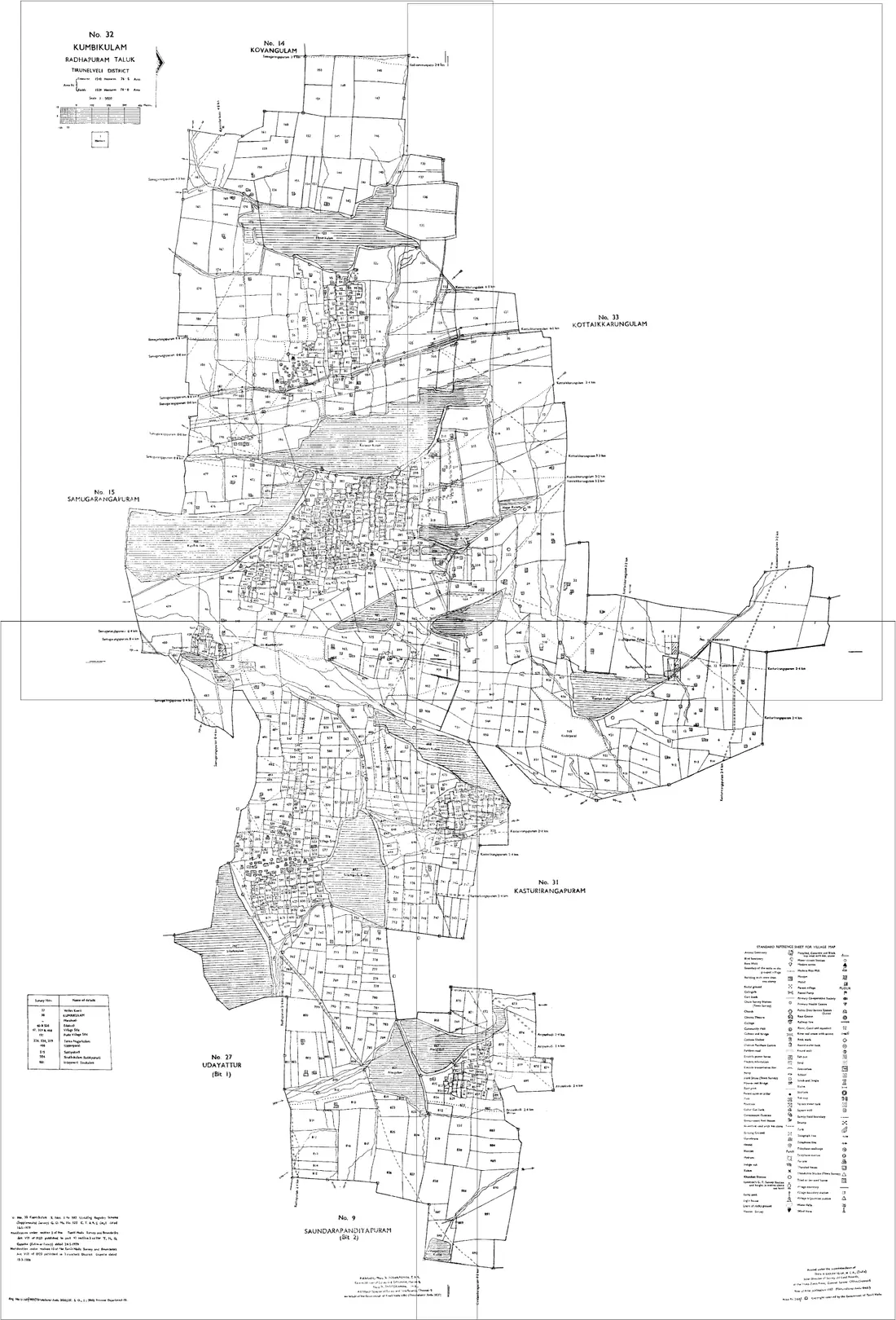
The survey map of a valley village, showing every plot with its Dag number and boundaries. It is drawn across several sheets, so a holding near a sheet edge comes out cut, which is why these are the sheets people join. Hill villages mostly have no equivalent.
How to get it: Look for the village on Louchapathap, where the valley's digitised land records are published, or ask the revenue office for your sub-division. Quote the district, sub-division, village and Dag numbers from the Patta, and collect every sheet your plots fall on.
Patta
The record of a holding in a surveyed village: the holder, the Patta number, and the Dag numbers the holding covers with their area. It says who holds the land in the revenue record; it does not draw it.
How to get it: Held by the revenue office for the sub-division, and served on Louchapathap for villages whose records have been digitised. Use the Dag numbers on it for every map request, so the sheets match the record.
Jamabandi
The register of holdings for a surveyed village: each Patta with its holders, its Dag numbers and their area. It is the record a mutation changes, so it is where to check that a sale or an inheritance has been entered.
How to get it: Search Louchapathap by district, sub-division and village. A certified copy, which a bank, a registration or a court will ask for, comes from the revenue office.
Village authority certificate (hills)
In hill districts, where land is held under customary tenure, a holding is usually evidenced by a certificate from the village chief or village authority rather than a Patta. There is usually no cadastral sheet behind it, only a survey sketch if one was made.
How to get it: Issued in the village, under its own customs. What a bank, a registration or a court will accept for a given purpose is a question for the Deputy Commissioner's office and an advocate.
Useful resources
Frequently asked questions, Imphal East
- How do I join cadastral map sheets in Imphal East, Manipur?
- Download the cadastral map sheets for your Dag / Patta numbers in Imphal East from Louchapathap, open the Village Map Joiner editor, drag each sheet onto the canvas and align the shared boundary lines, then export a single high-resolution PNG or print-ready PDF. Editor access is a flat one-time ₹199 covering 24 hours, any number of sheets and unlimited downloads, and everything stays in your browser.
- Which sub-divisions in Imphal East does it cover?
- The editor works for every sub-division in Imphal East, including Porompat, Sawombung, Keirao Bitra and more. Join the cadastral map sheets for any of them into one continuous map.
- Is my Imphal East land data kept private?
- Yes. The editor processes your cadastral map sheets entirely in your browser. Nothing is uploaded to any server, so your Imphal East land records stay on your device.