
Ghughri Bhu-Naksha (village map) Joiner
Ghughri · Mandla · Madhya Pradesh · MP Bhulekh
Ghughri is a tehsil of Mandla district in Madhya Pradesh. Download the Bhu-Naksha (village map) sheets for your Khasra numbers in Ghughri from MP Bhulekh, then line them up along their shared boundaries into one continuous map with Village Map Joiner's in-browser editor.
Everything runs on your own device, the sheets never leave your phone or computer. Drag each sheet onto the canvas, nudge it until the boundary lines meet, and download the joined Bhu-Naksha (village map) for Ghughri at full resolution.
Land on the edge of Ghughri
A holding that crosses a tehsil or village boundary needs sheets from both sides. Both go on the same canvas, there is no limit on how many, and no extra charge for it. Ghughri adjoins other tehsils of Mandla:
Madhya Pradesh land documents
Bhu-Naksha (village map)
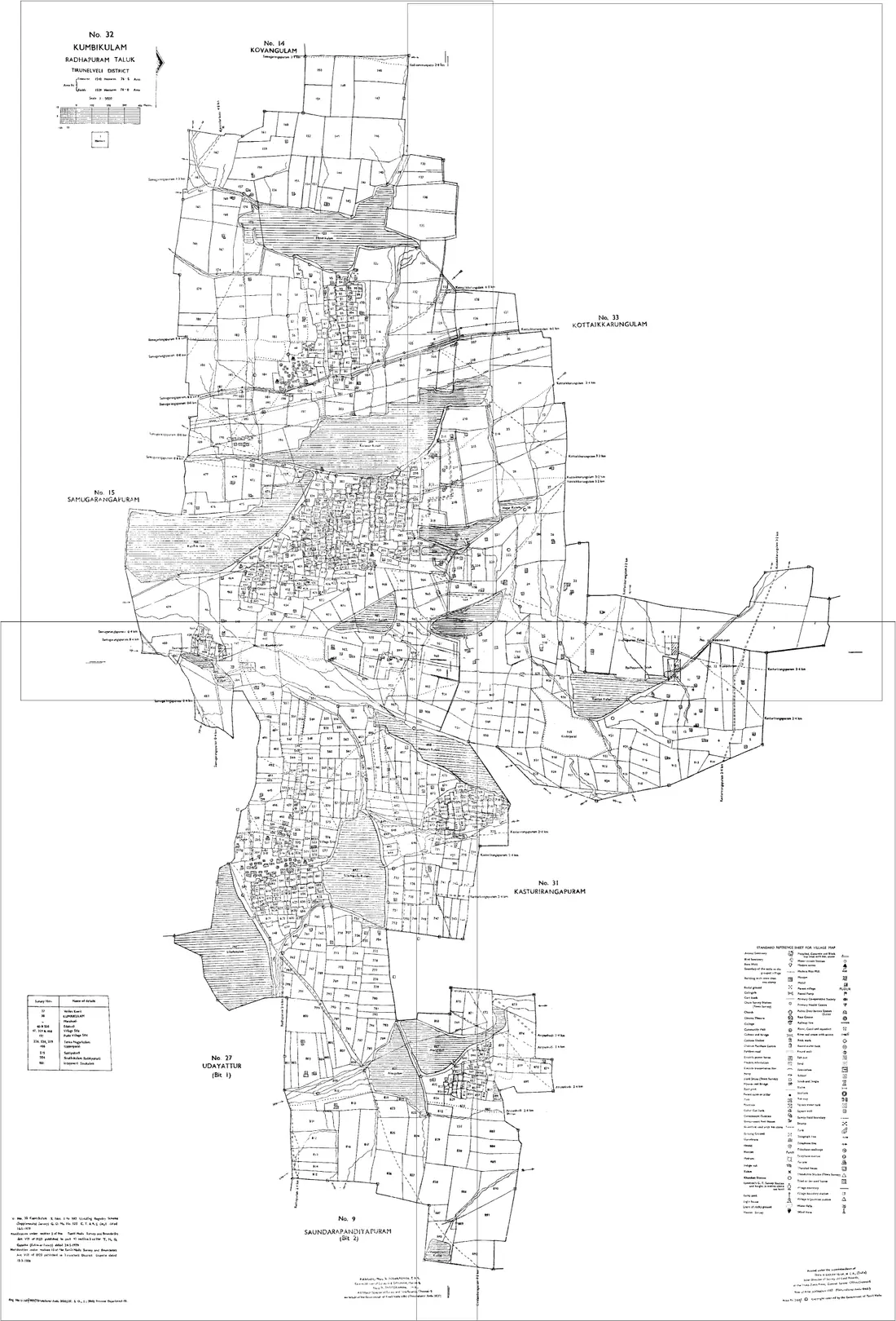
The cadastral map of a revenue village showing every Khasra number with its boundaries. It is served one sheet at a time, so a holding at a sheet edge is simply cut — join the sheets your Khasras fall on and the boundary becomes continuous again.
On mpbhulekh.gov.in, open the Bhu-Naksha view, select district, tehsil and village, then pick your Khasra numbers and download the sheet. Repeat per sheet, then bring them into the editor.
Khasra (field register)
The plot-by-plot register for the village: each Khasra number with its area, land class, irrigation source and the crop recorded on it. It is the ground-level detail behind the B-1.
Available on MP Bhulekh against district, tehsil, village and Khasra number, alongside the map view for the same village.
B-1 / Khatauni (record of rights)
The village's record of rights: for each Khasra number, the holder, the area, the class and the revenue payable. It describes the land in words — the Bhu-Naksha is what shows where it is.
Downloadable from MP Bhulekh by Khasra number, Khata number or holder name. A certified copy comes from the tehsil.
Batankan (sub-division) and Namantaran (mutation)
Batankan is the splitting of one Khasra into parts after a partition or sale; Namantaran is the transfer being entered against the holding. Both change what the map should show, and the map often lags the record.
Applied for at the tehsil, trackable through MP Bhulekh. If your downloaded sheet still shows the parent Khasra undivided, this is usually why.
Questions about Ghughri
- How do I join Bhu-Naksha (village map) sheets for Ghughri, Mandla?
- Download the Bhu-Naksha (village map) sheets for your Khasra numbers in Ghughri from MP Bhulekh, open the Village Map Joiner editor, drag each sheet onto the canvas and line up the shared boundaries, then export one high-resolution PNG or print-ready PDF. Access is a flat one-time ₹199 covering 24 hours, any number of sheets and unlimited downloads, and every sheet stays in your browser.
- Does it work for land on the edge of Ghughri?
- Yes. Land that crosses a tehsil or village boundary needs sheets from both sides, and both go on the same canvas, Ghughri adjoins other tehsils of Mandla including Mawai, Mandla, Niwas, Bichhiya, Nainpur. Place them side by side and export the whole holding as one map.
- Is my Ghughri land data kept private?
- Yes. The editor processes your Bhu-Naksha (village map) sheets entirely in your browser. Nothing is uploaded to any server, so your Ghughri land records never leave your device.
Looking for another part of Madhya Pradesh? All tehsils of Mandla · The full Madhya Pradesh guide