
Vadnagar village map / Block map Joiner
Vadnagar · Mehsana · Gujarat · AnyROR
Vadnagar is a taluka of Mehsana district in Gujarat. Download the village map / Block map sheets for your Survey / Block numbers in Vadnagar from AnyROR, then line them up along their shared boundaries into one continuous map with Village Map Joiner's in-browser editor.
Everything runs on your own device, the sheets never leave your phone or computer. Drag each sheet onto the canvas, nudge it until the boundary lines meet, and download the joined village map / Block map for Vadnagar at full resolution.
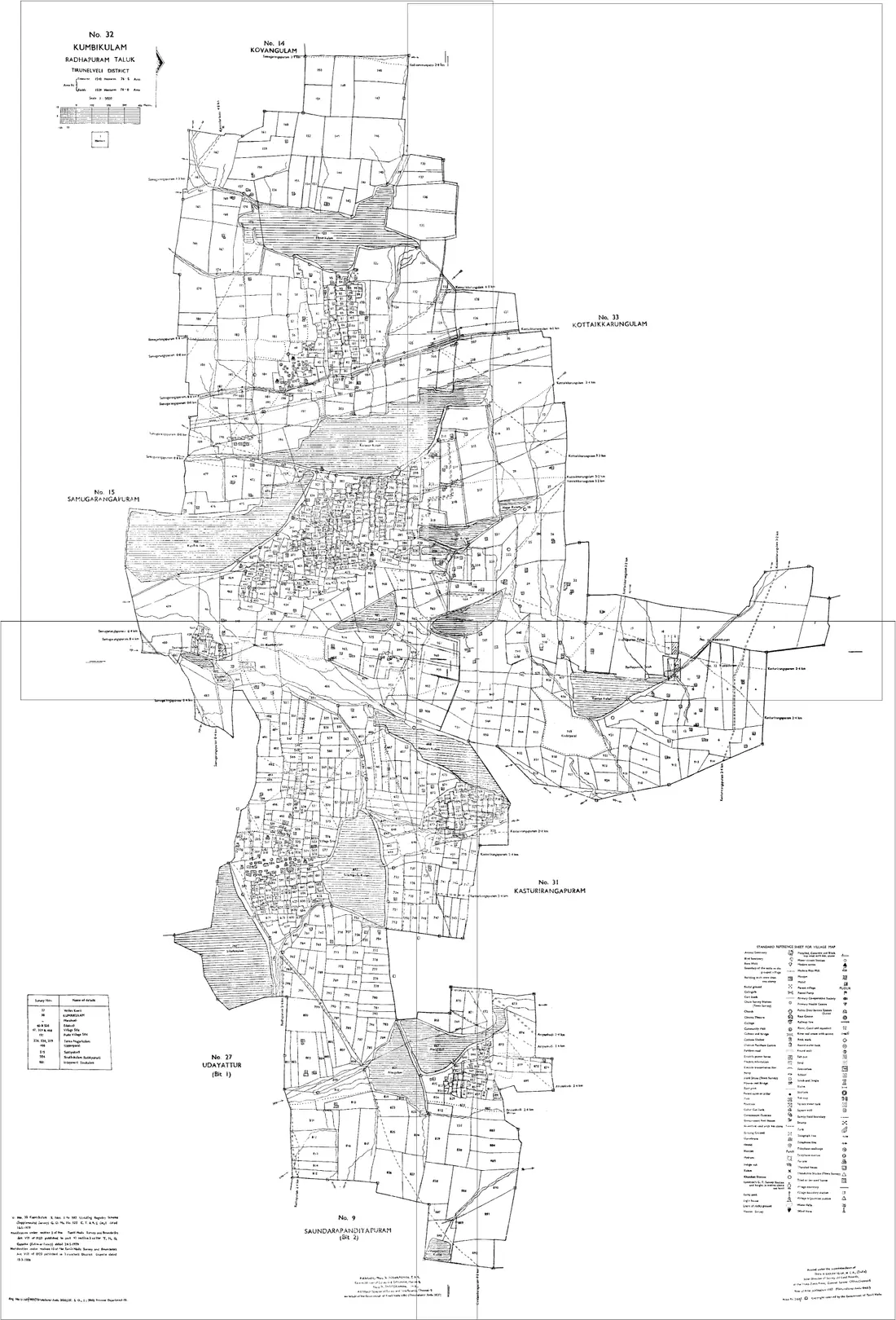
Land on the edge of Vadnagar
A holding that crosses a taluka or village boundary needs sheets from both sides. Both go on the same canvas, there is no limit on how many, and no extra charge for it. Vadnagar adjoins other talukas of Mehsana:
Gujarat land documents
Village map / Block map
The cadastral map of a village, showing survey and block numbers with their boundaries. Issued sheet by sheet, so a holding assembled from several blocks — which is the normal case after consolidation — was never drawn on one sheet.
From the e-Dhara Kendra at your Taluka office, or the district land-records / survey office. Quote the numbers exactly as they appear on your current 7/12, and ask for every sheet your numbers fall on.
7/12 utara (Record of Rights)
Gujarat's record of rights for agricultural land: Village Form VII names the holder, the survey or block number and the tenure; Form XII records what was cultivated. It is the first document a buyer, bank or court asks for.
Free to view on anyror.gujarat.gov.in by district, taluka, village and survey / block number. A certified copy comes from the e-Dhara Kendra or the Mamlatdar.
8A (Khata extract)
Lists every survey or block number held by one Khata holder in the village, with areas. Where the 7/12 describes one parcel, the 8A describes the whole holding — which is exactly the set of sheets you will need to join.
Available through AnyROR alongside the 7/12 for the same village, and certified from the e-Dhara Kendra.
Hissa form / sub-division sketch
The record of one survey number being split into hissas (parts), with the resulting shares. After a partition the parent survey number stops matching the ground, and the hissa record is what reconciles them.
Through the district Inspector of Land Records (DILR) or the Taluka e-Dhara Kendra. Where a fresh measurement is needed, the DILR is also who orders it.
Questions about Vadnagar
- How do I join village map / Block map sheets for Vadnagar, Mehsana?
- Download the village map / Block map sheets for your Survey / Block numbers in Vadnagar from AnyROR, open the Village Map Joiner editor, drag each sheet onto the canvas and line up the shared boundaries, then export one high-resolution PNG or print-ready PDF. Access is a flat one-time ₹199 covering 24 hours, any number of sheets and unlimited downloads, and every sheet stays in your browser.
- Does it work for land on the edge of Vadnagar?
- Yes. Land that crosses a taluka or village boundary needs sheets from both sides, and both go on the same canvas, Vadnagar adjoins other talukas of Mehsana including Kheralu, Unjha, Vijapur, Satlasana, Becharaji, Jotana. Place them side by side and export the whole holding as one map.
- Is my Vadnagar land data kept private?
- Yes. The editor processes your village map / Block map sheets entirely in your browser. Nothing is uploaded to any server, so your Vadnagar land records never leave your device.
Looking for another part of Gujarat? All talukas of Mehsana · The full Gujarat guide