
Namsing village / plot sketch Joiner
Namsing · East Siang · Arunachal Pradesh · Arunachal Pradesh land-records office
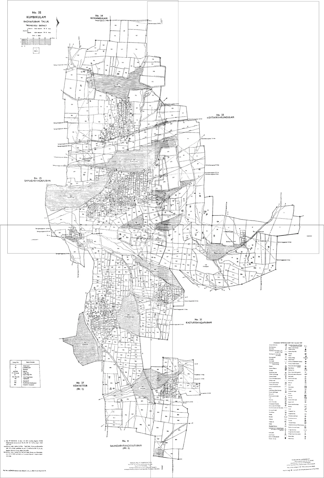
Namsing is a circle of East Siang district in Arunachal Pradesh. Download the village / plot sketch sheets for your Plot numbers in Namsing from Arunachal Pradesh land-records office, then line them up along their shared boundaries into one continuous map with Village Map Joiner's in-browser editor.
Everything runs on your own device, the sheets never leave your phone or computer. Drag each sheet onto the canvas, nudge it until the boundary lines meet, and download the joined village / plot sketch for Namsing at full resolution.
Land on the edge of Namsing
A holding that crosses a circle or village boundary needs sheets from both sides. Both go on the same canvas, there is no limit on how many, and no extra charge for it. Namsing adjoins other circles of East Siang:
Arunachal Pradesh land documents
Land Possession Certificate (LPC)
The document that records an individual's holding under the Arunachal Pradesh (Land Settlement and Records) Act, 2000: the holder, the plot, its area and its boundaries. Since a 2018 amendment, a valid land possession document for land outside notified forest is the basis on which ownership rights can be conferred.
Through the circle office for the area and the Deputy Commissioner's office. The application is usually supported by the village's confirmation of the claim, often through the Gaon Bura, and a survey of the plot. Ask the circle office what your district asks for.
Plot sketch
The drawing prepared with an LPC or a land allotment, showing the plot's shape, measurements and neighbours. There is no state-wide cadastral map series, so these sketches are the maps, and a family's land or a shared boundary spans several of them.
Take it from the LPC or allotment first. For a copy of the sketch on record, or the adjoining plots' sketches, ask the circle office or the Deputy Commissioner's land records branch.
Land allotment order
In townships and on government land, land is allotted by order of the Deputy Commissioner's office, usually with a sketch of the plot. It is a separate route from the LPC, which records customary holdings.
From the Deputy Commissioner's office that made the allotment, quoting the order's number and date. Read its conditions: an allotment can carry terms on use and transfer.
APST certificate
The certificate showing that a person belongs to a Scheduled Tribe of Arunachal Pradesh. Land ownership in the state is essentially confined to its indigenous tribal people, so the parties' status is part of whether a transaction is possible at all.
Issued by the Deputy Commissioner's office. What is permitted in a particular case is a question for that office and an advocate, settled before any money changes hands.
Questions about Namsing
- How do I join village / plot sketch sheets for Namsing, East Siang?
- Download the village / plot sketch sheets for your Plot numbers in Namsing from Arunachal Pradesh land-records office, open the Village Map Joiner editor, drag each sheet onto the canvas and line up the shared boundaries, then export one high-resolution PNG or print-ready PDF. Access is a flat one-time ₹199 covering 24 hours, any number of sheets and unlimited downloads, and every sheet stays in your browser.
- Does it work for land on the edge of Namsing?
- Yes. Land that crosses a circle or village boundary needs sheets from both sides, and both go on the same canvas, Namsing adjoins other circles of East Siang including Pasighat, Ruksin, Mebo, Sille-Oyan, Bilat. Place them side by side and export the whole holding as one map.
- Is my Namsing land data kept private?
- Yes. The editor processes your village / plot sketch sheets entirely in your browser. Nothing is uploaded to any server, so your Namsing land records never leave your device.
Looking for another part of Arunachal Pradesh? All circles of East Siang · The full Arunachal Pradesh guide